CityGML
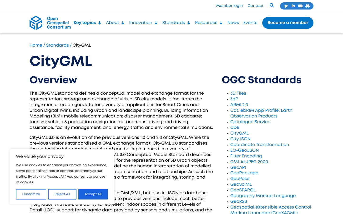
CityGML is an open data model and XML-based format for the storage and exchange of virtual 3D city models.
Arlington, VA
2008

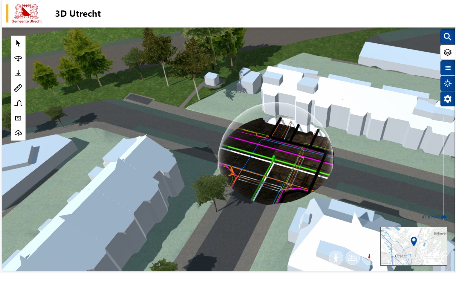
An interactive 3D model of everything from buildings and parks to underground infrastructure, used by city officials, researchers, and residents to visualise changes and assess their impact before implementation.
What if city planners could test urban design scenarios before breaking ground? The Utrecht Digital Twin is an interactive 3D model that captures everything from buildings and parks to underground infrastructure. It’s a living data platform where city officials, researchers, and residents are collaborating to visualise changes and assess environmental impacts before implementation. The Municipality of Utrecht created 3d.utrecht.nl together with the municipality of Amsterdam and with the help of 3D enthusiasts throughout the country, such as: TU Delft (3DBAG), Het Kadaster (3D basic provision) and other partners. Originally designed for urban planning, the Digital Twin now delivers 30% faster decision-making on infrastructure projects, visualisation of 12 climate adaptation scenarios for heat island mitigation, and engagement from over 200 community members contributing localised data.
CityGML is an open data model and XML-based format for the storage and exchange of virtual 3D city models.
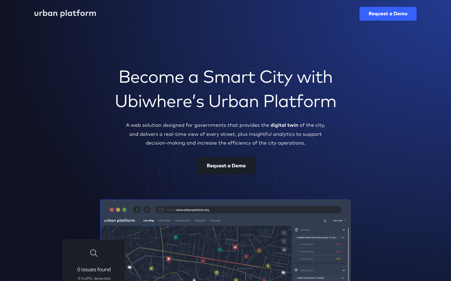
A web solution designed for governments that provides the digital twin of the city, and delivers a real-time view of every street, plus insightful analytics to support decision-making and increase the efficiency of the city operations.
Join us in building the European way of Digital Transformation for 300 million Europeans