
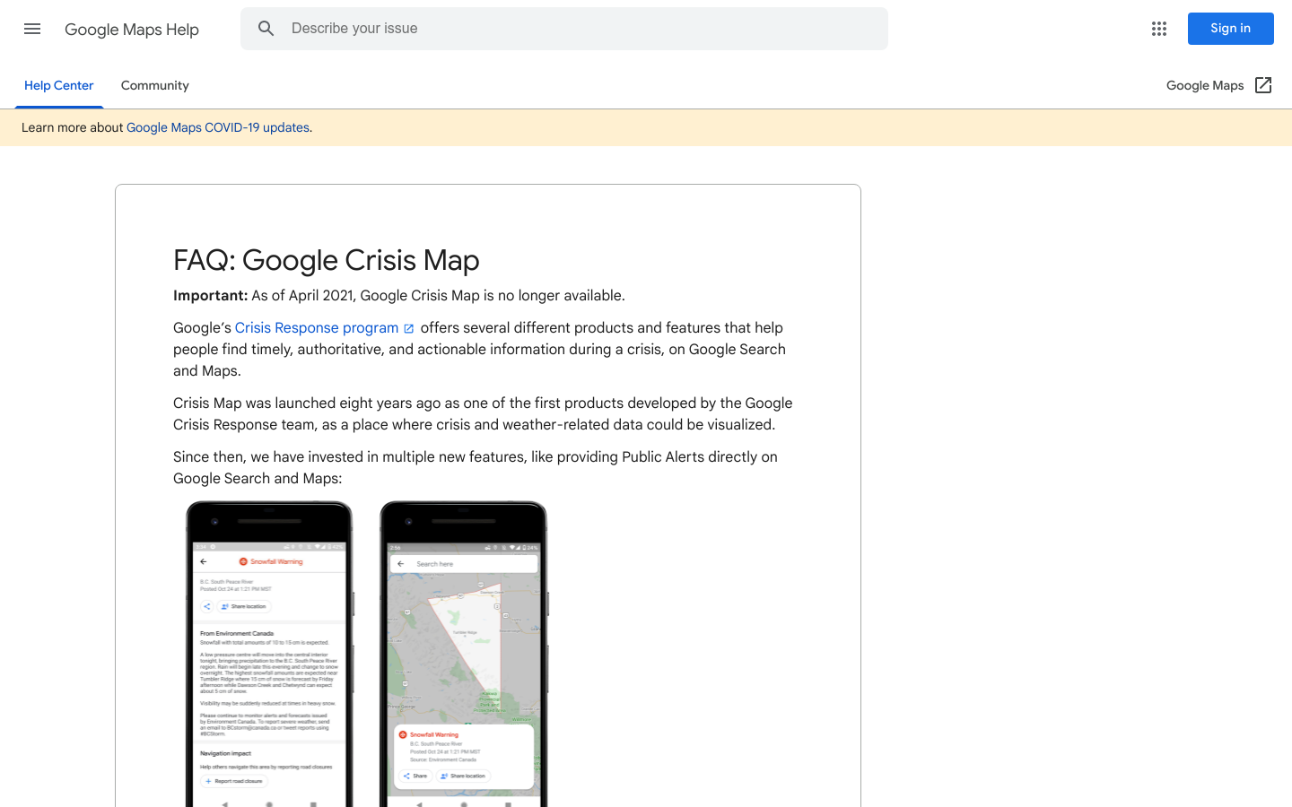
Google Crisis Map
A collection of national and regional-scale layers related to weather, hazards, and emergency preparedness and response, mostly for the US.
Mountain View, CA, USA
2017
Civic data, Data visualization, Disaster response and humanitarian tech, Mapping, Mapping platforms, The Tech
crisis, Google, humanitarian
