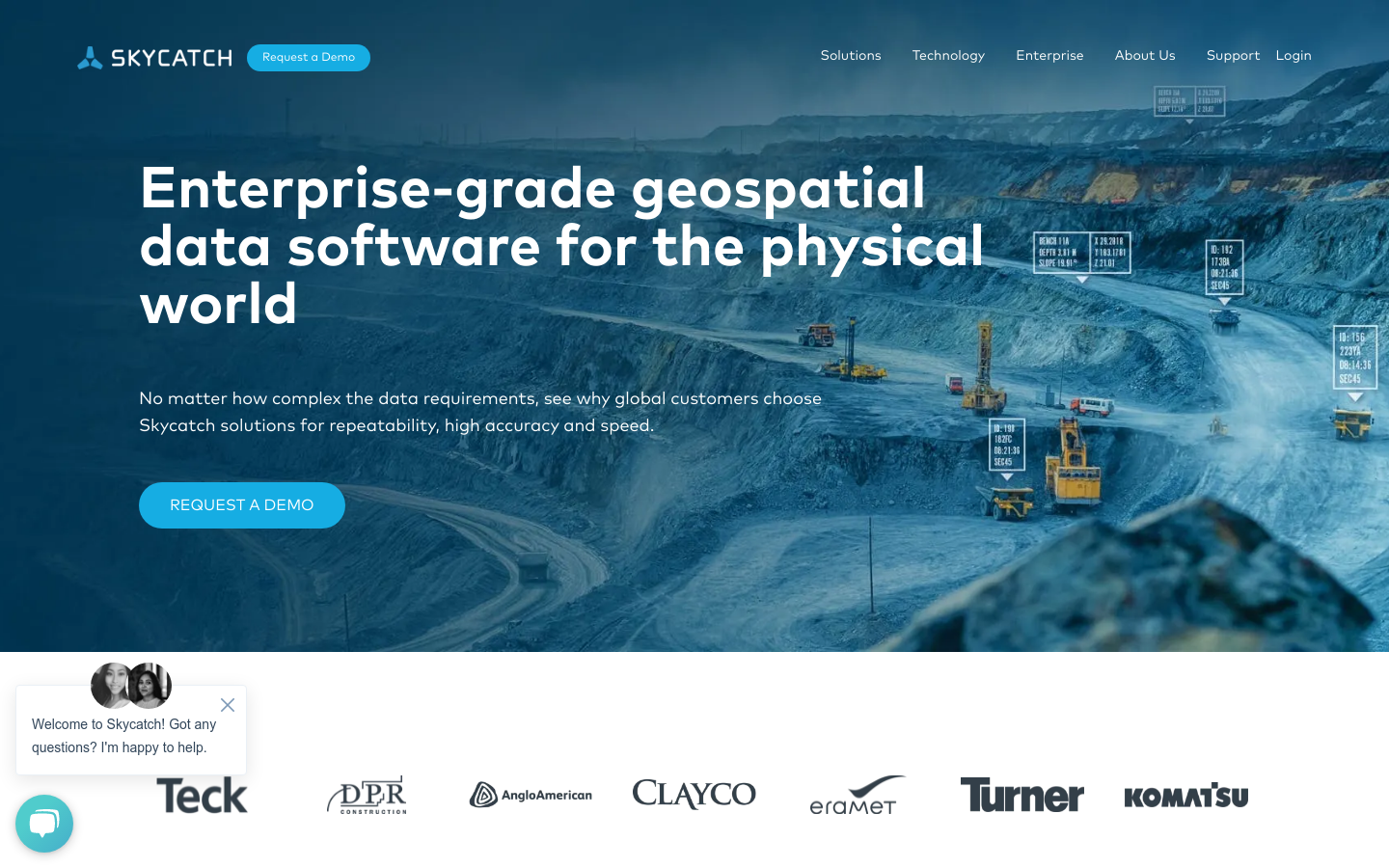
Skycatch
Drone maps and 3D models processed in the cloud for construction, mining, energy, & more.
2013

Drone maps and 3D models processed in the cloud for construction, mining, energy, & more.
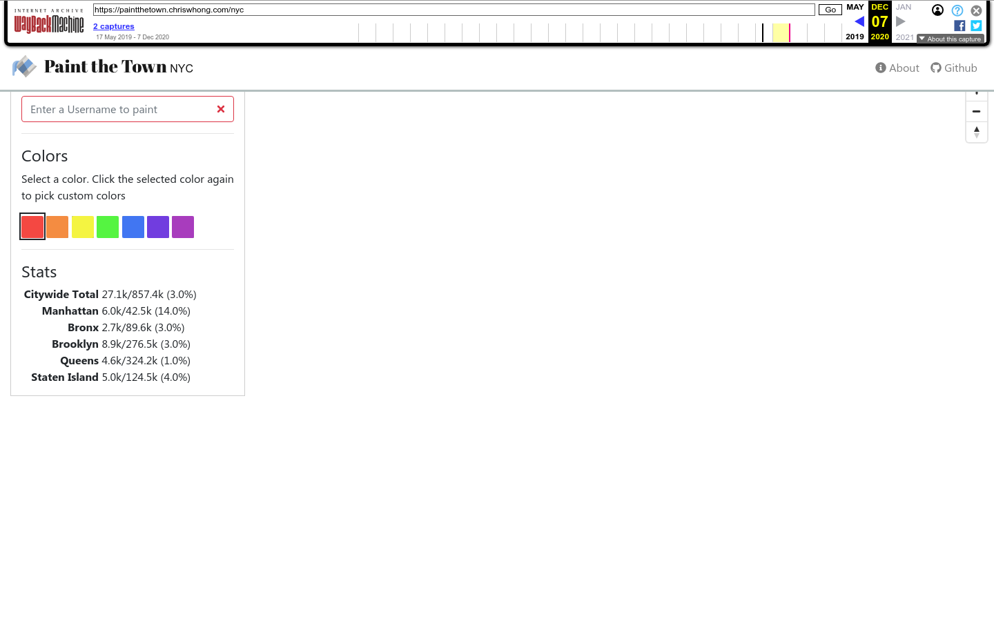
Paint the Town is a collaborative data art project. It allows anyone to paint a New York City tax lot to any color they choose.
Supernormal explored an algorithm that integrates social equity as a key variable in prioritizing infrastructural replacements and repairs.
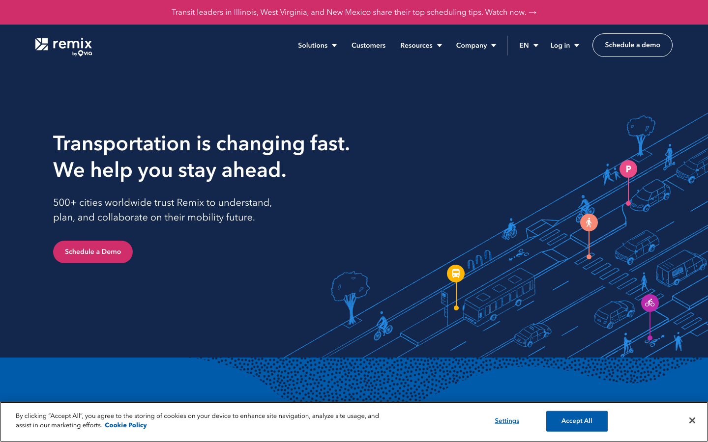
A single platform to design for multiple transportation modes to thrive in your city.
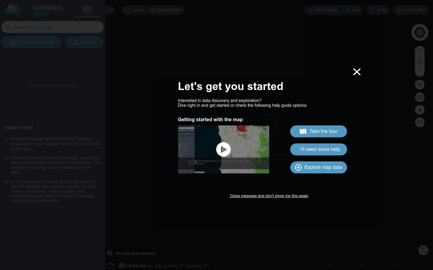
NationalMap is an online map-based tool to allow easy access to spatial data from Australian government agencies.
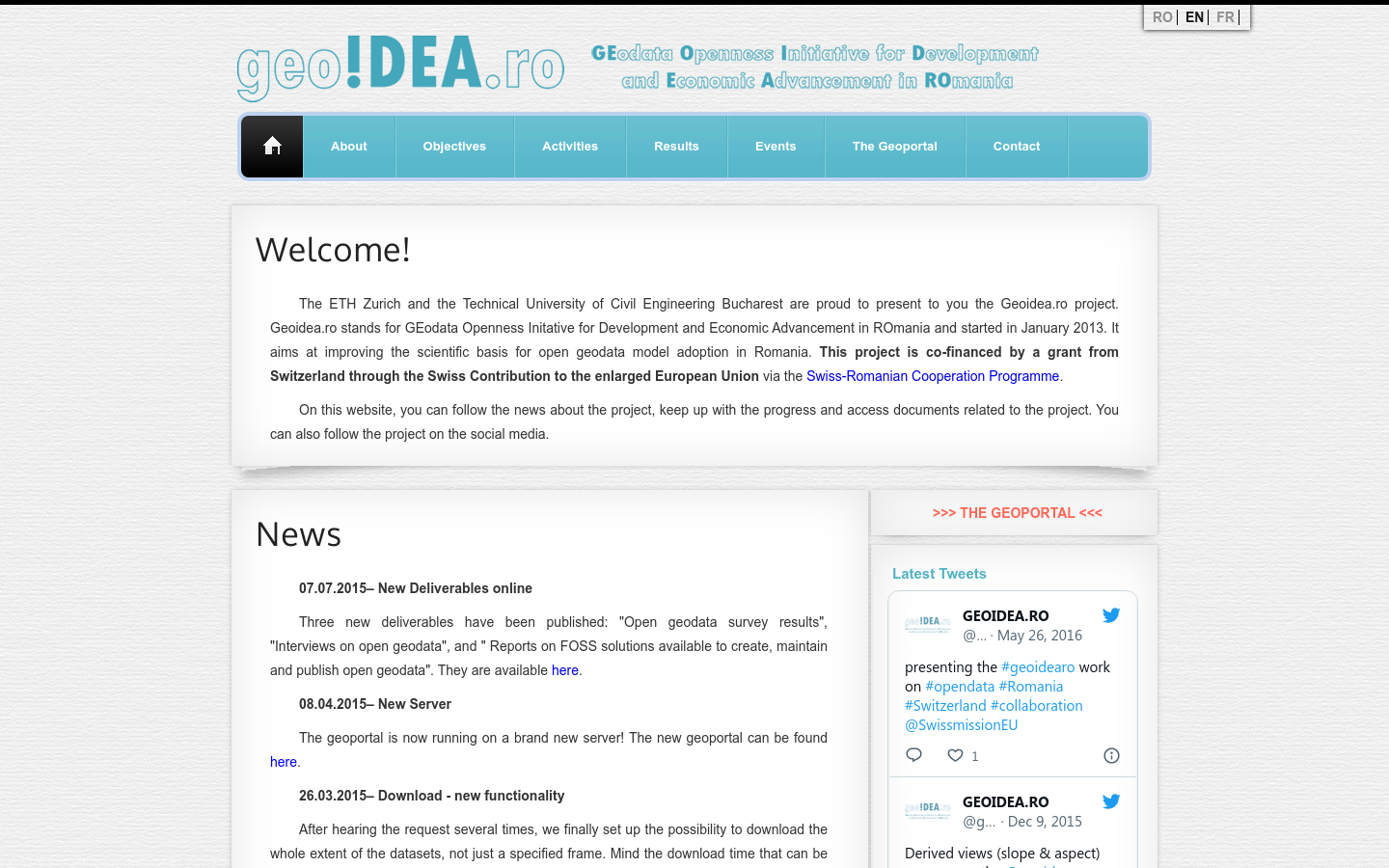
Geoidea.ro stands for GEodata Openness Initative for Development and Economic Advancement in ROmania and started in January 2013. It aims at improving the scientific basis for open geodata model adoption in Romania
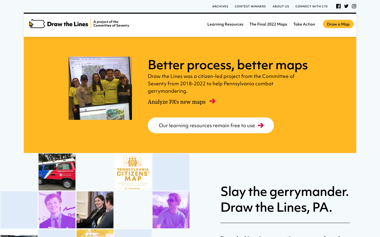
It's our House, so it should be our mouse.
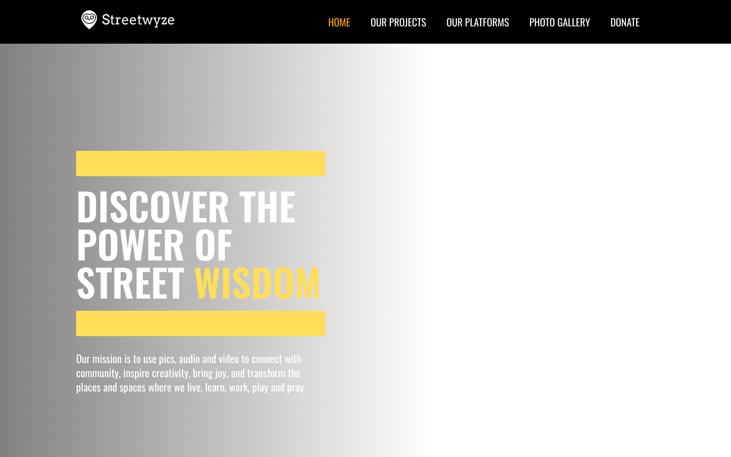
The Streetwyze app is the world’s first neighborhood navigator powered by local knowledge.
Terrastories is a geostorytelling application built to enable local communities to locate and map their own oral storytelling traditions about places of significant meaning or value to them.