Humanitarian OpenStreetMap Team (HOT) (HOTOSM)
HOT is an international team dedicated to humanitarian action and community development through open mapping.

HOT is an international team dedicated to humanitarian action and community development through open mapping.

Embeddable map of parallel events and buses going to the People's Climate March in Washington, DC.

A collection of national and regional-scale layers related to weather, hazards, and emergency preparedness and response, mostly for the US.

An open source mapping platform for custom designed maps. Our APIs and SDKs are the building blocks to integrate location into any mobile or web app.

Esri's GIS mapping software is the most powerful mapping and spatial data analytics technology available. Unlock the full potential of your data and improve operational & business results with our location platform.

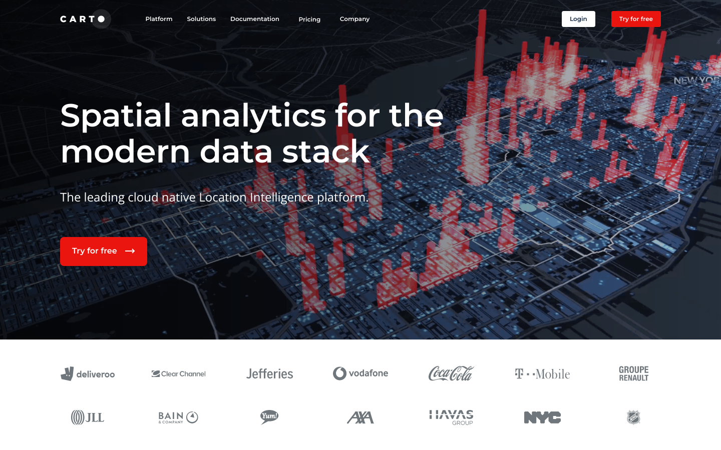
CARTO Turns Your Location Data Into Business Outcomes.

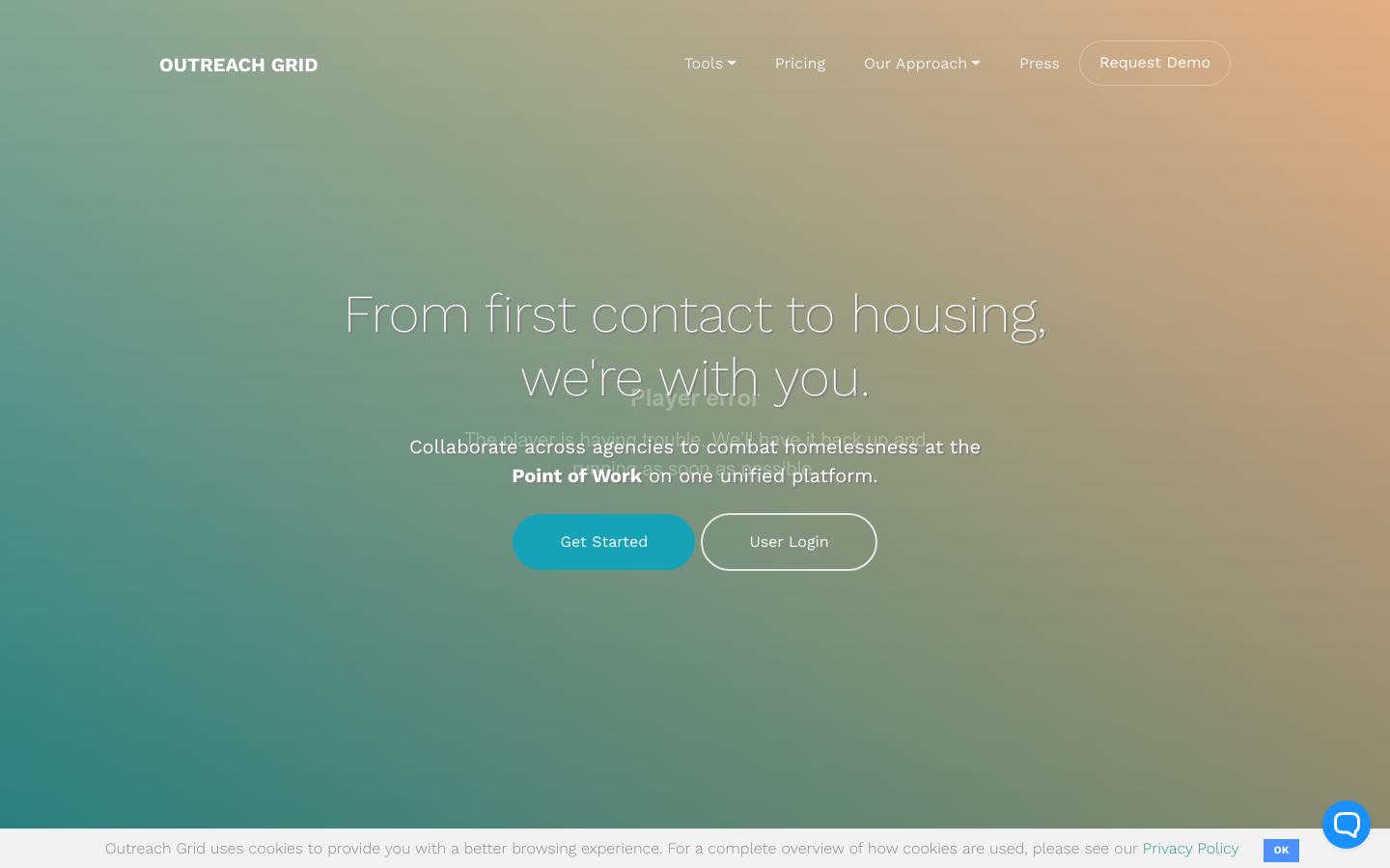
Collaborate across agencies to combat homelessness at the Point of Work on one unified platform.

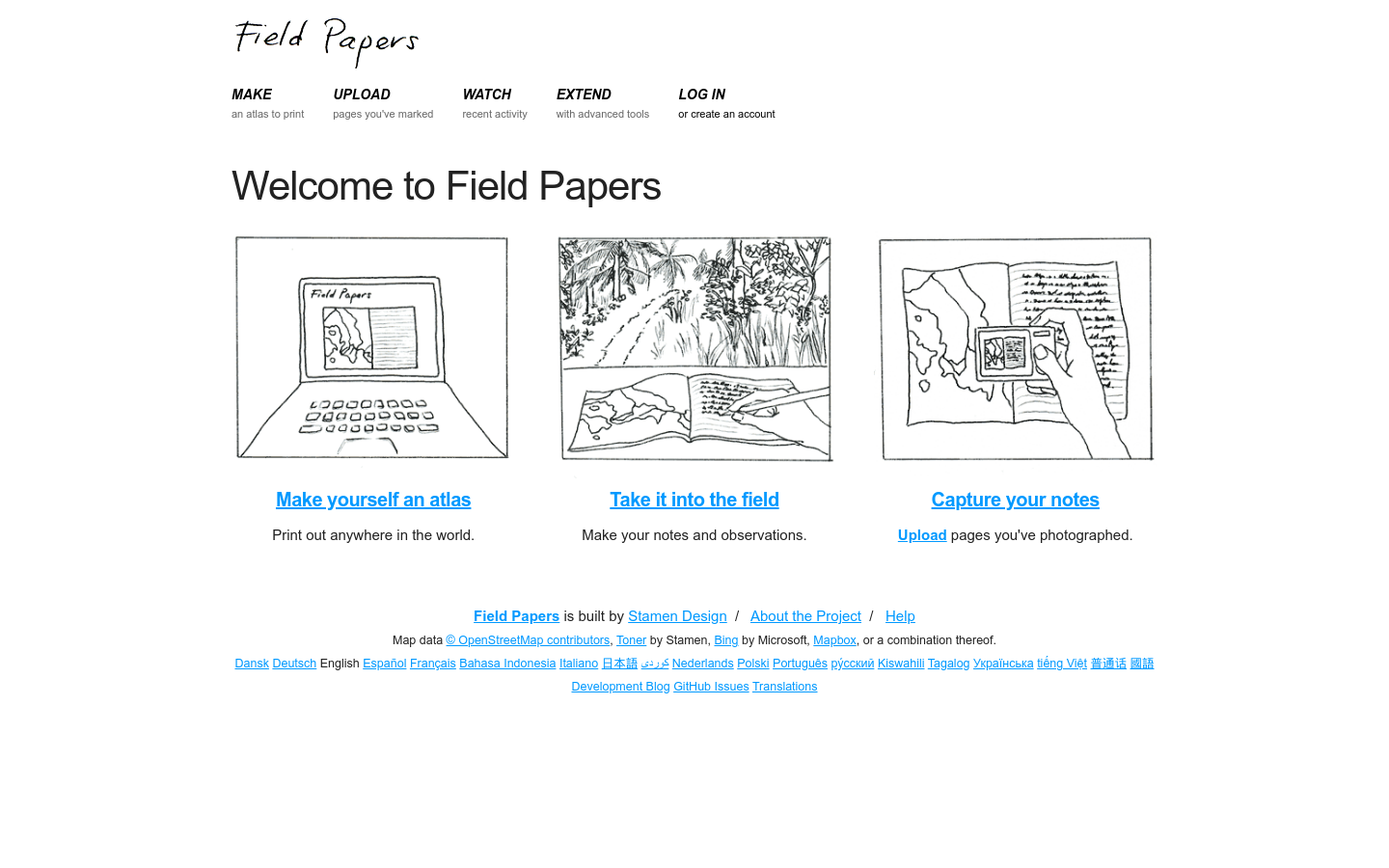
Field Papers is a tool to help you create a multi-page atlas of anywhere in the world.

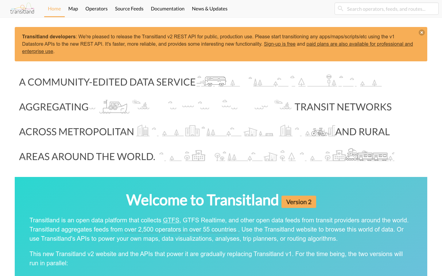
Transitland is an open data platform powered by GTFS, GTFS Realtime, GBFS, and other open data feeds from 2,500+ transit operators across 55+ countries.